Bike Lanes Maps Made Simple: How to Read Them Better
Contents
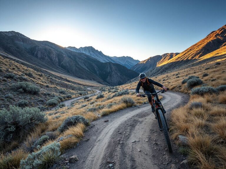
Here’s a cycling secret that most route planners won’t tell you: bike lane maps are often a liability. They paint a tidy, color-coded trail network that looks safe and predictable—but out on the road, that illusion shatters the moment you hit unexpected gravel, a closed bridge, or a shoulder that simply doesn’t exist. The moments that make the best stories are almost always the ones where something went wrong, which is exactly why the prep work earns its place. Preparation doesn’t prevent adventure—it just gives you better options when it shows up. The same rule applies when you’re straddling a bicycle, eyeing that faint two-track disappearing into the sagebrush. If you cling to a polished map of bike lanes, you’ll miss the raw, unscripted rides that actually change you.
Now, don’t get me wrong. I’m not saying you should delete every bike lane map from your phone and wander blindly into the desert. What I am saying is that your relationship with those maps needs a healthy dose of skepticism. Some of the most memorable miles come from ignoring the highlighted route, trusting your own eyes, and following a hunch. This article is a hardcore route scout’s take on why bike lanes maps should be treated as a starting point, not a finish line. We’ll dig into how to read terrain when the map fails, how to build your own digital scouting toolkit, and when it’s actually smart to stick to the paved path. By the end, you’ll see those cheerful green lines differently—and you’ll be itching to get lost on purpose.
Key Takeaways
- Bike lane maps create a false sense of security—they omit surface conditions, construction, and countless unmarked connectors that experienced riders rely on.
- Building your own digital map library using satellite imagery, topo layers, and local heatmaps uncovers routes no official map will show.
- True route-finding mastery comes from combining digital scouting with field verification and knowing when to abandon the plan and trust your dirtbag intuition.
The Hidden Trap in Every Bike Lane Map
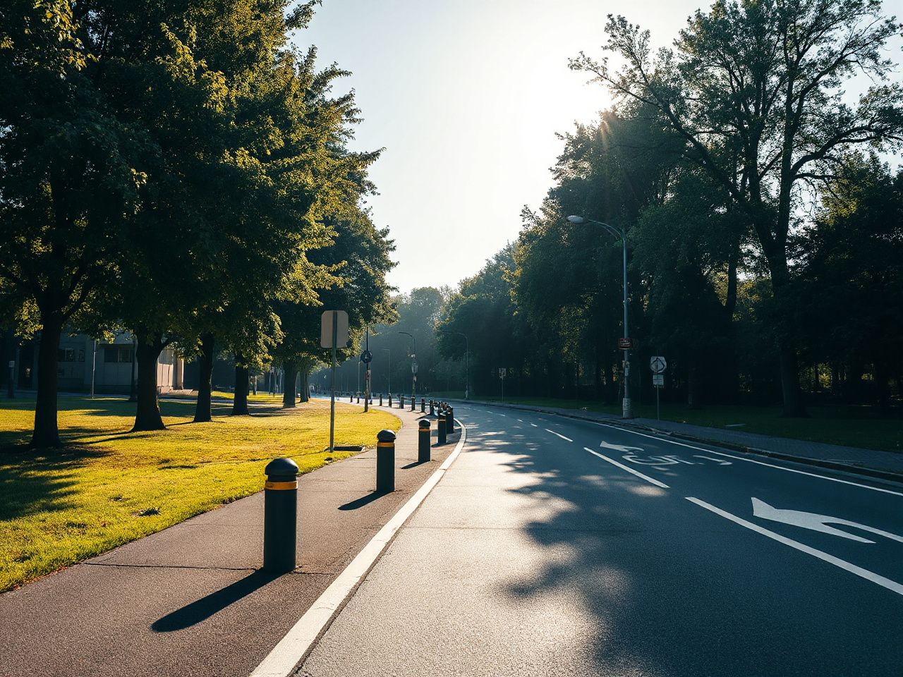
Open any city planning department’s website and you’ll find a glossy bike lanes map dotted with solid lines, dashed lines, and optimistic connectors. It looks comprehensive. But anyone who has scouted remote routes learns to spot the cracks in seconds. What these maps almost never convey is surface quality. A designated bike lane can be a silky smooth ribbon of new asphalt or a rumble-stripped gutter filled with broken glass—and the map shows them exactly the same way. Worse, in many rural or transitioning urban edges, the “lane” is simply a faded sharrow that local drivers treat as a suggestion, not a legal designation.
Another critical flaw: official bike lane maps are static snapshots in time. Roadwork, new developments, and seasonal closures can render a 2023 map obsolete by the time you’re planning a ride in 2026. It’s common to find “protected bike lanes” that end abruptly at a construction pit, with no detour signs and no escape from 45-mph traffic. That’s not a failure of navigation—it’s a failure of over-reliance on someone else’s curated data. When you’re scouting adventure rides, you need live, layered intelligence, not a PDF.
What Maps Can’t Teach You: Reading Real Terrain
Here’s where off-road route scouting bleeds into cycling. On a motorcycle, you learn to read the land like a book—soil color, vegetation changes, and water flow patterns tell you everything about traction and difficulty. Bike lanes maps completely ignore this layer of reality. A stretch of road labeled as a “shared use path” might look perfect on screen, but if it dips through a floodplain with heavy clay, a hard rain turns it into a greased slide. Gravel sections that twist through shady hollows can hold ice well into a sunny spring morning. No cartographer is including that intel.
The solution is to develop what is called terrain triage. Before a ride, scan topographical maps for clues: contour line spacing reveals grade severity, stream crossings warn of potential mud, and solar exposure hints at surface temperature. Then pair that with satellite heat signatures (yes, even free tools show recent vegetation growth that flags disuse). This mental layer augments—and often overrides—the bike lane map. Official maps can sometimes be inaccurate, such as showing connectors that may be underwater. Alternative routes like forgotten ranch roads not on cycling apps can offer unexpected highlights.
How to Build Your Own Off-Route Digital Library
If you want to escape the tyranny of outdated bike lanes maps, you’ll need a scouting workflow that combines multiple data sources. This isn’t about expensive gadgets—most of it you can do on a smartphone with a decent data connection. Start by ditching the idea of a single “perfect” app. Run three layers in parallel: a route-planning tool that allows manual drawing, a topo map with slope angle shading, and a crowdsourced heatmap that reveals where local riders actually go. Crucially, compare all three against the county road department’s maintenance schedule when you can find it. Unmaintained roads are often the gravel goldmines.
Here’s a step-by-step process for scouting a new adventure loop, whether it’s deep in the best bike trails in Colorado or the familiar Bay Area hills:
- Plot a rough 30–50 mile loop on a topographic basemap, deliberately choosing secondary and tertiary roads. Mark every water crossing and section with >6% grade.
- Overlay satellite imagery with a date filter from the last 90 days. Look for fresh gravel dumps, washouts, or heavy overgrowth that indicates seasonal abandonment.
- Check heatmap data from popular cycling apps. If a road shows zero heat but looks rideable on satellite, investigate further—it may be private land or a hidden gem locals keep quiet.
- Download offline layers for the entire area, plus a 15-mile buffer. Cell coverage vanishes exactly where the best riding begins.
- Add at least two bailout points – paved connectors or train stops – in case the surface turns on you. A bike lane map won’t give you that contingency; you have to build it yourself.
This approach takes an extra 30 to 45 minutes of prep, but it transforms a blind follow-the-line ride into a true exploration. This is the method that turns up things like a 22-mile stretch of abandoned rail trail in Nevada that appears on no official bike lanes map—360-degree basin views, total solitude, and a surface carrying nothing but animal tracks. Nothing on a color-coded lane map will ever point you at it.
When Bike Lane Maps Actually Earn Their Keep
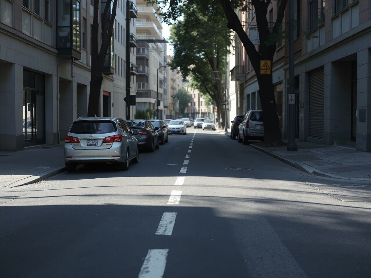
Even so, bike lane maps are not useless. In dense urban cores, a well-maintained map can help you weave through complex intersections and find dedicated pedestrian-bike bridges that sat-nav ignores. The key is using them for what they’re good at: infrastructure navigation, not adventure planning. When crossing a major metro like Barcelona at the start of a bike trip in Spain, a reliable bike lanes map becomes a tactical tool to survive the first and last 5 miles of a ride. After that, it’s fine to go off-script.
Even in those urban contexts, verify the map’s freshness. Many cities update their bike infrastructure data as infrequently as once a year. In 2026, with the rapid buildout of protected lanes and greenways, a six-month lag can mean the difference between a sweet riverside cruise and a detour through an industrial district. A quick trick: check city council meeting minutes for recent bike infrastructure approvals. If a new lane was funded but isn’t on the map, you’ve found a potential shortcut before it’s officially published. For international adventures, like bike trips in Spain, local cycling forums and consulate-hosted maps often far outpace commercial apps.
Gravel Roads, Firebreaks, and Other Unmapped Treasures
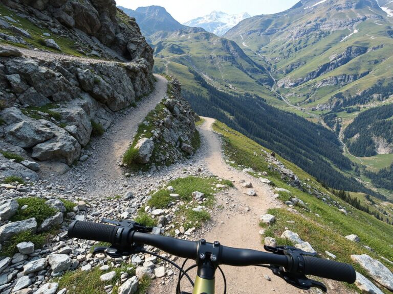
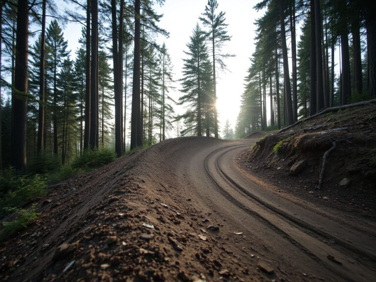
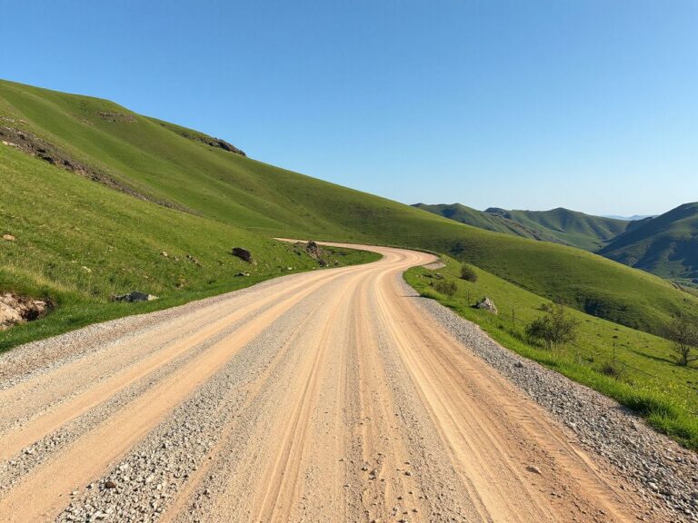
Some of the greatest rides never touch a bike lane. They existed entirely on USFS firebreaks, rancher easements, and disused mining tracks—routes that no mapping platform will ever classify as “cycling” infrastructure. Yet, with the right scouting mindset, these become your private network. The trick is to stop thinking like a cyclist and start thinking like a two-wheeled explorer. Examine USDA Forest Service motor vehicle use maps; they often show roads open to bicycles even when not designated as bike routes. State DNR lands contain thousands of miles of doubletrack that connect to remote campsites—perfect for bikepacking loops.
If you’re near the Bay Area, the mountain bike trails Bay Area riders know are a prime example. Many of the best singletracks aren’t on any formal bike lanes map—they’re pieced together from fire roads, forgotten coastal dips, and sanctioned trail networks that only appear in land manager PDFs. Some routes cover more wildlife sightings than paved surface, often with very few other riders.
Building the Habit of ‘Ground Truthing’
Even after all the digital scouting, the final step is something no screen can replace: putting eyes on the terrain. Ground truthing—riding a route in person to confirm conditions—is the ultimate filter between a plan and a disaster. A promising gravel road can turn into a sand pit within the first quarter mile. That’s when you need to make a call: push through or pivot. The bike lane map mentality would have you turn back to the nearest paved road. The scouting mentality says: if the sand is manageable and the exit is downhill, it’s an adventure. If it’s 95°F and you’re carrying just two water bottles, it’s a lesson.
Start small. Pick a local route you know well and deliberately ride an unmapped variant—a side street, a dirt alley, a powerline access road. Note how the terrain changes, how your speed adjusts, how your senses sharpen. That discomfort is the crucible of real route-finding. Over time, you’ll develop an internal compass that rarely fails. A planned bike lane can suddenly disintegrate into a muddy construction zone. That is when a satellite review pays off: a parallel farm track spotted in advance can get a group back on course quickly. That’s the moment when preparation pays off—not in preventing problems, but in having the right detour already loaded in your head.
Frequently Asked Questions
Are bike lane maps on popular cycling apps reliable for rural areas?
In a word: no. Bike lane maps on major apps rely heavily on user data, which is sparse the farther you get from population centers. A road might appear as a bike lane when it’s actually a narrow, high-speed county highway with no shoulder. In remote regions, always verify with satellite and county road status reports. If the map shows an optimistic dashed line crossing 20 miles of nothing, treat it as a suggestion, not a confirmed route.
How can I find bike lanes in remote areas without an official map?
Turn to non-cycling sources. Forest Service road inventories, Bureau of Land Management travel network maps, and state DOT functional classification maps often reveal paved or gravel roads that are bicycle-friendly but uncategorized. Combine these with heatmap layers from off-road motorcycle forums—riders there document surface conditions and obstacles that translate perfectly to gravel cycling. Local ranching communities can also point you to seasonal roads that never appear on any bike lanes maps.
What tools let me create my own bike lane map overlay?
Several free or low-cost GIS platforms allow you to digitize your own routes and export them as GPX files. You can trace satellite imagery, mark waypoints for water sources and hazards, and share the file with others. A good approach is to build custom overlays that blend official bike lanes with unpaved connectors, then load them onto a GPS unit. The process forces you to study the terrain so deeply that you often memorize the critical turns before you even throw a leg over the saddle.
Can I use a bike lane map designed for road cycling when bikepacking on gravel?
Only as a rough base layer. A road bike lane map won’t show the aggregate size of gravel, the presence of deep sand, or seasonal mud holes that make a route impassable on a loaded bike. It also won’t indicate water crossings or resupply points, which are essential for multi-day trips. For a bike trip in Spain or any gravel-heavy adventure, start with a topographical and hydrological analysis, then overlay the bike lane map only to identify potential paved bailouts. The map is a safety net, not the script.