The Best Bike Trails in Ogden, Utah
Contents
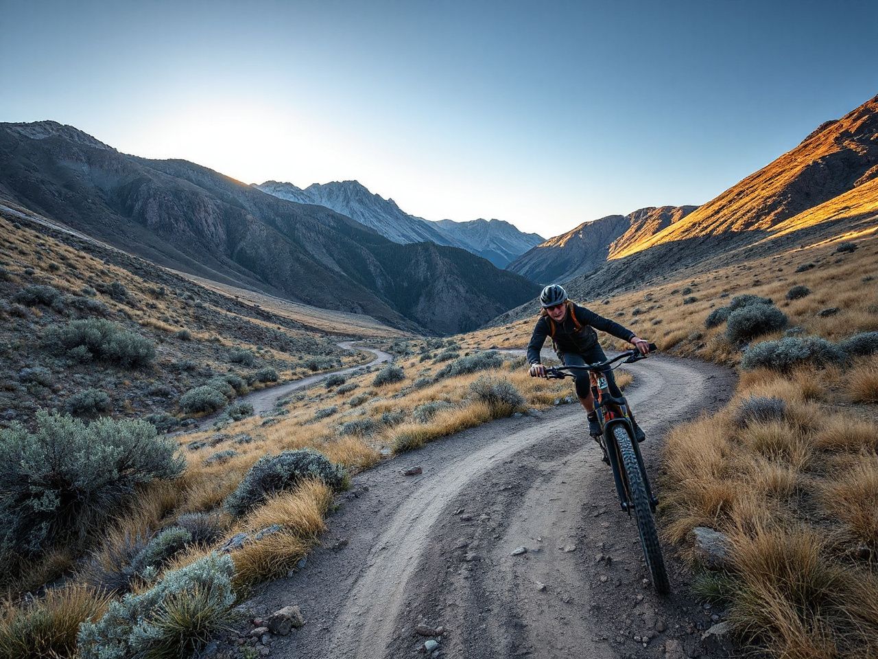
The washboard chatter through the handlebars finally stopped, replaced by that eerie silence only a high-desert canyon can produce. Dust on your calves, the taste of alkali in the air — the right trail isn’t just a path; it’s permission to push past what you thought your legs could handle. Across the trails around Ogden, one thing is clear.
If you only ride one trail in Ogden this year, make it the Bonneville Shoreline Trail from Rainbow Gardens to Ogden Canyon. It offers a balance of technical punch and panoramic payoff, and it’s a popular trail among locals.
As an Amazon Associate, we earn from qualifying purchases.
CERTAIN CONTENT THAT APPEARS ON THIS SITE COMES FROM AMAZON. THIS CONTENT IS PROVIDED ‘AS IS’ AND IS SUBJECT TO CHANGE OR REMOVAL AT ANY TIME.
Comparison Table
| Trail | Best For | Buy Link |
|---|---|---|
| Bonneville Shoreline (Rainbow to Ogden Canyon) | All-around epic | |
| Ogden River Parkway | Family cruising | |
| Wheeler Creek Trail | Alpine escape | |
| Skyline Trail (North Ogden) | Technical punishment | |
| Maples Campground Loop | Flow riding | |
| Powder Mountain Bike Park | Downhill adrenaline | |
| Beus Canyon Trail | Solo suffering |
Ogden’s Roughest Trails Overview
Trail ratings here are based on route characteristics such as climbing, surface, and exposure, not just Strava segments. Trail ratings here also reflect safety, since Ogden Canyon can be unforgiving for overconfident riders. So when a trail here is rated “intermediate,” that means intermediate — not “intermediate if you’ve got a death wish.”
Bonneville Shoreline Trail — Rainbow Gardens to Ogden Canyon (Our Pick)
Quick take: Grab this one if you want a classic Wasatch Front ride that blends flowy bench-cut, punchy climbs, and enough exposure to remind you why you ride in the first place.
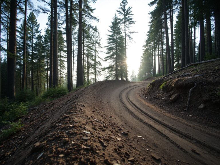
The section from Rainbow Gardens trailhead heading east feels immediately committed. Within the first half-mile the packed-gravel tread gives way to a chattery, rim-dinging limestone bench cut that demands constant line choice. The sediment color shifts from pale tan to rust-red inside the first mile, and the dust comes off that tread long before the first real climb. Embedded cobbles buzz straight through the front tire, and the handlebars transmit every contour of the surface — no dead feel, just raw, unvarnished trail feedback.
This trail dries out faster than anything else in the area, which is a huge plus in spring. The climb up to the Ogden Canyon overlook is challenging, especially the second granny-gear grind about 1.8 miles in. Then it leads to a wide saddle with an unobstructed view of the canyon mouth and the river below. Three turkey vultures often ride thermals there. Competitively, it’s not as punishing as Skyline, but it’s way more scenic than the River Parkway. One honest gripe: the easternmost bailout point is poorly marked, which can lead to ending up on a steep, loose social trail that dead-ends in scrub oak. Not catastrophic, but annoying when already fatigued.
Pros:
- Epic canyon overlook — the saddle at mile 2.2 offers the single best panorama on any Ogden trail listed here
- Fast-drying surface — after a heavy storm, this trail typically dries out well before Wheeler Creek
- Varied terrain — you get buffed-out flow, rocky chatter, and one steep, rooty punch within the same three miles
- Easy access — the trailhead is a short drive from downtown Ogden
Cons:
- Bailout confusion — unmarked social trails branch off and lead to dead ends, so expect some backtracking
- Exposure concerns — one traverse about 1.5 miles in has a 20-foot runout slope with zero margin for error
- Afternoon heat trap — there’s no shade from noon onward; bring double the water you think you need
The Real Deal
Best for: Riders who crave a legitimate backcountry feel without driving an hour into the mountains. Pass on this if: You’re brand new to mountain biking — the exposure and loose rock can spike anxiety fast.
Ogden River Parkway (Best Value)
Why it made our list: If you’ve got kids, a cruiser bike, or just want to pedal off a hangover, this paved path is flat, shaded, and relentlessly pleasant.
The asphalt here is smooth enough to reveal the texture of the aggregate through 2.2-inch tires — a satisfying, almost velvety hum that’s completely missing on chunky singletrack. The Dinosaur Park at mile 1.3 features a giant concrete stegosaurus that casts a shadow long enough to cool the entire path. The river on the left runs high and cloudy from snowmelt; wet cottonwood and barbeque aromas come from the picnic areas.
On a Sunday morning this trail can carry a couple of hundred people at once and still work. There’s enough width to pass strollers without clipping handlebars, and the underpass tunnels at 12th and 24th Streets bypass car traffic entirely. Compared to the Shoreline, it’s a walk in the park, literally. There is one genuine gap: the stretch between Lorin Farr Park and Fort Buenaventura has no water fountains for 2.3 miles, which is a long way for a child in full sun. Pack extra snacks and hydration, because this trail lulls you into thinking it’s easy, then the direct sun hits and you’re suddenly the parent pushing a bike.
Pros:
- Stroller-safe pavement — genuinely smooth enough for a road bike or a tag-along with a three-year-old
- Traffic-avoiding tunnels — you won’t have to cross a single busy road between Big D Park and the 21st Street Pond
- Riverfront scenery — the river is literally 10 feet from the path for about 70% of the ride
- Abundant shade — mature cottonwoods keep the path cool until late morning, unlike the Shoreline
Cons:
- Crush-load weekends — expect to navigate around loose toddlers and wandering pedestrians on Saturday
- No water for miles — the 2.3-mile dry stretch requires planning your refill stops
- Zero technical challenge — if you’re craving rocks and roots, this will bore you silly within 10 minutes
Final Thoughts
Perfect for: Families, casual cruisers, and anyone recovering from a hard ride the day before. Not great if: You need adrenaline — there’s no climb steeper than a freeway overpass here.
Wheeler Creek Trail (Recommended)
Here’s the deal: This is the trail you ride when Ogden’s valley floor is baking and you need a genuine alpine fix, complete with creek crossings and pine-scented air.
The first thing you notice isn’t the climb — it’s the temperature drop. From the Art Nord trailhead, the air turns noticeably cooler within a few hundred yards of the parking lot. The tread is soft and pine-needle-cushioned, and tires leave a faint print in the duff. The trail crosses Wheeler Creek several times in the first mile; some crossings can run deep enough to soak a bottom bracket, and cold mountain water through vented shoes is welcome after the climb up from the road.
Due to the geography, this trail holds moisture longer than anything else on the list. That means less dust but also more mud if there’s been recent rain. The middle third, a bench cut through a north-facing slope, requires leaning the bike into the hillside because the camber is off — it’s like riding on a slanted sidewalk for 800 yards. Annoying, but the waterfall at mile 2.4 provides a distraction. A hanging cascade about 30 feet high, visible right from the trail. No other Ogden ride described here has this kind of in-your-face hydrology. Compared to Maples Loop, Wheeler feels wilder and less manicured.
Pros:
- Legitimate alpine feel — you’re deep in pines within 10 minutes, complete with crossbills and squirrel chatter
- Multiple creek crossings — the third one will splash your hubs; it’s refreshing on a hot day
- Spectacular waterfall — at mile 2.4, this 30-foot cascade is the most photogenic spot on any Ogden trail
- Cool microclimate — average temp here is 68°F when the valley floor is 95°F
Cons:
- Off-camber bench cut — that tilted 800-yard stretch wears out your rear leg and feels sketchy with a loaded bike
- Mud magnet — if it rained in the last 48 hours, expect peanut-butter-like clay that clogs your drivetrain
- Limited cell service — expect little to no signal past the first mile; a broken derailleur means a long walk
Our Take
Ideal for: Intermediate riders who want a genuine mountain escape without driving to Park City. Think twice if: You’re on a tight timeline and can’t afford a mechanical — there’s no quick exit once you’re in.
Skyline Trail (North Ogden)
In a nutshell: This is the trail that eats bikes and spits out broken dreams. Ride it if you’ve got the legs and the nerve; otherwise, stick to the Shoreline.
The initial climb out of the North Ogden Divide parking lot is a slap in the face. Expect around 900 vertical feet in the first 1.4 miles, with a grade steep enough to lift the front wheel on every pedal stroke. The surface is decomposed granite mixed with cantaloupe-sized rocks that shift under your rear tire. Rowdy rock gardens can make the chain slap the frame hard. The noise can sound alarming, but it is usually just the chain slamming the protector.
Conditions change a lot by season: in early June snow can still clog the upper switchbacks, while by late August it is bone dry. The rock garden at mile 1.9 is the crux — a 40-yard stretch of sharp-angled limestone blocks that demand trials-like line picking. Many riders walk it the first time and clean it on a later visit, only to have the next climb humble them. Competitively, this is the hardest legal trail in the ogden mountain biking scene, no contest. Wheeler Creek feels like a Sunday stroll by comparison. One honest downside: the exposure on the ridge section is genuinely scary, with a 300-foot scree slope on your left and a single-track width of about 18 inches. If you’re prone to vertigo, skip it.
Pros:
- Brutal, honest workout — you’ll earn more climbing in two miles here than you will on five miles elsewhere
- World-class rock garden — the 40-yard section at mile 1.9 is a rite of passage for Ogden riders
- Unbeatable views — from the ridge, you can see the entire Great Salt Lake on a clear day
- Zero crowds — very few riders are typically encountered on this route
Cons:
- Intimidating exposure — one slip on the ridge section and you’re tumbling down scree; not for the faint-hearted
- Snow lingers — the upper switchbacks can stay snow-blocked into June
- Bike-breaking terrain — ride with a sturdy wheelset and bring a spare tube
Why It Stands Out
Great match for: Expert riders who live for technical punishment and high-consequence lines. Skip it if: You’re on a hardtail with narrow bars — you need suspension and confidence to survive this.
Maples Campground Loop
What stood out: The sheer speed you can carry through these sweeping berms — speeds up to 28 mph without pedaling are possible on the backside descent.
The berms in the loop are well-built, shaped with machinery and hand-packed at the lips. Tires grip the compacted soil firmly, allowing smooth transitions. The dirt has a high clay content, so when dry, it provides excellent traction; when wet, it becomes slippery. The earthy, almost fermented scent of decaying maple leaves is noticeable through the entire north section.
This loop is short enough to ride three times in one morning, and it is fun enough that people do. It’s not long — about 3.1 miles total — but the flow is so good it’s easily the best pure fun ride in the area. Unlike the River Parkway, you’re actually mountain biking, but it doesn’t demand the suffering that Skyline does. The one real annoyance: a couple of blown-out switchbacks on the south side have exposed roots that will catch a pedal if you’re not paying attention. A two-inch thick maple root hooked by a left pedal mid-turn is enough to put a rider over the bars. Also, the parking area is basically a dirt pull-off that fits maybe six cars, so show up early or on a weekday.
Pros:
- Machine-built berms — the cornering speed here is addictive; you’ll carry momentum like never before
- High-repeatability — short enough to lap three times, fun enough to lap six
- Velcro dirt when dry — the clay surface provides insane traction under ideal conditions
- Maple canopy — dappled sunlight and the smell of decomposing leaves make this a sensory treat
Cons:
- Root hazards on exits — a few buried roots have been exposed by erosion; they’ll snag pedals
- Tiny parking lot — six spaces max; overflow ends up on the road shoulder
- Unrideable when wet — the clay turns to grease after rain, slick enough to slip just mounting the bike
Final Thoughts
Ideal for: Riders who prioritize cornering thrills over climbing suffering. Pass on this if: It rained recently — you’ll be walking more than riding.
Powder Mountain Bike Park
Here’s the story: A lift-served downhill park that doesn’t require the drive to Deer Valley. It’s limited, but what’s there is fast, rough, and built for aggressive rigs.
Bikes sway on the hook the whole way up the lift — a reminder that this isn’t just a ski resort playing at summer ops. The terrain is legit. The intermediate flow trail opens with a wood feature that will put a rider airborne for a good eight feet. The landing is soft, but the transition is sketchy on a trail bike with only 130mm of travel: 130mm simply runs out of stroke on a drop that size, and the shock bottoms with a metallic clunk that carries through the frame. The double-black jump line is not really a jump line unless you are very, very good. Rolled rather than jumped, it feeds the rear wheel straight into the transitions.
Compared to natural trails like Skyline, the bike park is a different beast entirely. It’s not about endurance; it’s about suspension setup and nerve. Only three trails are open at a time, with occasional maintenance closures. That’s it. You’re paying for a lift ticket and getting a fraction of the terrain that a Colorado bike park offers. But for Ogden locals, it’s a godsend — no hour-long shuttle required. And if you’ve been riding the bike trails ogden utah valley for years, this is a fresh adrenaline injection.
Pros:
- Genuine downhill terrain — the intermediate flow line has wooden features and table tops that are well-sculpted
- Lift access saves legs — you can stack eight to ten runs in a day without pedaling uphill
- Stunning high-alpine setting — the views from the lift are worth the ticket price alone
- Empty compared to Park City — lift lines are usually short
Cons:
- Limited trail count — only a few trails may be open at a time; you’ll lap them fast and want more
- Aggressive terrain demands big travel — a 130mm trail bike is under-gunned on the jump lines
- Short season — the park typically runs June through September, and snow can close it early
The Real Story
Perfect for: Downhill-curious riders with enduro bikes who want lift-served riding without the drive. Not great if: You’re a cross-country rider on a hardtail — you’ll be walking and unhappy.
Beus Canyon Trail
Why it made our list: This is the trail for solitude, suffering, and earning your turns the old-fashioned way — no lifts, no shuttles, just relentless climbing.
The start at Beus Canyon trailhead is deceptively mellow — a wide, sandy path that lulls you into thinking this will be a pleasant granny-gear spin. It’s not. Within half a mile, the grade ramps up and the sand turns to loose, baby-head rocks that skip out from under your front tire. Bash guards can scrape on a couple of steep rollovers. Heart rates climb to threshold early, well before the switchbacks. The air carries the scent of sagebrush crushed under tire, a harsh, almost medicinal smell that’s distinct to this canyon.
There is a hidden line through the talus field at mile 2.6 that locals know and nobody finds on a first attempt. Either way it is brutal work. The payoff is a high-alpine meadow that is usually empty even in the middle of the day — no bike park, no ribbon of berms, just you and the mountain, with a fair chance of a golden eagle working the thermals overhead. The major downside: there’s absolutely no water source. Three liters is not enough to reach the descent with anything left in reserve, so carry more or carry a filter. The descent itself is chunky enough that numb hands are the normal state by the bottom, and stopping twice to shake out your fingers is time well spent. If you’re prone to arm pump, this trail will find you out.
Pros:
- Absolute solitude — very few other riders and hikers are typically seen here
- Ascending variety — the terrain shifts from mellow sand to technical rock gardens about 1.5 miles up
- Gorgeous alpine meadow terminus — the upper basin is a high-desert sanctuary with wildflowers in June
- No crowds ever — this trail is too hard to attract casual riders; you’ll have it all to yourself
Cons:
- Zero water — no streams, no creeks; dehydration is a real risk in temperatures over 80°F
- Bone-jarring descent — sustained chunk can cause numbness in hands; allow time to recover
- Route-finding required — the talus field section is unmarked, and it’s easy to wander off-route into a deadfall
Our Take
Great match for: Experienced, self-sufficient riders who treat mountain biking as type-2 fun. Think twice if: You want a quick after-work ride — this is a half-day commitment minimum.
Buying Guide: How to Choose Your Ride
Not all bike trails ogden utah are created equal. Riders on the Shoreline with top-spec Yetis can have a miserable time, while kids on the Parkway on rusty Walmart bikes grin ear to ear. The difference? Matching the trail to your skill, your fitness, and honestly, your pain tolerance.
Technical Difficulty: Are You Ready for Skyline?
Rims can dent on Skyline’s rock garden. Be realistic about your bike handling. If you can’t confidently manual over a curb, stick to the Shoreline, the Parkway, or Maples. The jump from intermediate to expert in Ogden is not gradual — it’s a cliff. Skyline and Beus Canyon demand trials-level balance and the ability to read lines at speed. If you’ve ever felt your rear wheel slide and panicked, avoid those two. But for riders seeking progression, Skyline’s rock garden is the best skills test in the area — just bring a buddy who knows the line.
Fitness and Elevation: Climb Before You Ride
The Bonneville Shoreline’s climb to the overlook is about 600 feet. Skyline is 900 feet in 1.4 miles. That’s not a typo — it’s steep enough to lift the front wheel repeatedly. If you haven’t been climbing regularly, start with the Parkway (flat) or Maples (gentle rollers). Wheeler Creek and the Shoreline are the next step. Save Skyline and Beus until you can hold a conversation at 160 bpm — or at least swear coherently.
Seasonal Conditions: When to Ride What
In March and April, the Shoreline dries first because it’s south-facing. Wheeler Creek holds snow until May and mud until June. Maples is unrideable for 48 hours after rain. Powder Mountain Bike Park opens in late June, but snow can linger on the upper trails until July. Check trail conditions on Weber Pathways’ website before you drive out. Nothing stings like unloading gear only to find peanut-butter mud sticking to everything.
Bike Setup: What You Actually Need
Bike needs range from a 100mm hardtail to a 160mm enduro sled. For the River Parkway, literally anything with wheels works. For Maples, a hardtail with 120mm travel is perfect. The Shoreline and Wheeler are best on a full-suspension trail bike (130-140mm). Skyline and Beus demand at least 150mm of travel, aggressive tires, and preferably a spare derailleur hanger. And for Powder Mountain, a 130mm bike bottoms out easily, so a true downhill bike or a burly enduro rig will serve you much better.
Our Final Recommendation
If you can only ride one trail in Ogden, make it the Bonneville Shoreline from Rainbow Gardens to Ogden Canyon. It delivers the most complete experience — technical challenge, jaw-dropping views, and enough distance to feel like a real ride. For families, the River Parkway is unbeatable. For pure downhill thrills, Powder Mountain scratches that itch without the drive to Deer Valley. And if you’re an expert seeking punishment, Skyline will humble you. Whatever you choose, these trails are the real deal — not sanitized bike paths, but honest, occasionally brutal ribbons of dirt that demand respect. Ride them right, and they’ll reward you with the kind of memories that keep you coming back to Ogden.
Frequently Asked Questions
What is the best trail for ogden mountain biking beginners?
The Ogden River Parkway is the only truly beginner-friendly trail on our list. It’s flat, paved, and impossible to get lost on. If you’re looking for dirt, Maples Campground Loop is mellow enough for a confident novice on a mountain bike, but avoid it when wet. The lower section of the Bonneville Shoreline from 22nd Street is also worth a look — it’s wide and smooth for the first half mile before it gets chunky.
Are the bike trails in Ogden suitable for gravel bikes?
Parts of the Bonneville Shoreline and Wheeler Creek are doable on a gravel bike with 40mm+ tires, but you’ll be severely underbiked on the rockier sections. On a gravel rig, portions of the Shoreline end in a walk — the limestone bench cuts are exactly where 40mm tires and a rigid fork stop being enough. Skyline and Beus are a hard no for anything without suspension. Stick to the Parkway if you’re on 32mm tires.
When is the best season to ride bike trails ogden utah?
Late May through early October is prime. Spring runoff can make Wheeler Creek and Maples unrideable, while July and August are brutally hot on the unshaded Shoreline. Early morning rides in summer and golden evenings in September when the cottonwoods turn are best. Powder Mountain Bike Park closes by early October, so plan accordingly.
Is there somewhere to rent a mountain bike near Ogden?
Yes — several shops in Ogden rent demo bikes. The local outfitter near Harrison Boulevard is the usual stop for out-of-town guests. For the bike park, you can rent downhill rigs at the base. Call ahead, because inventory for larger frames runs thin on weekends. For trails like Skyline, we strongly recommend renting a bike with at least 150mm of travel if you don’t own one.
Can I ride these trails with my dog?
Most trails are dog-friendly on leash. Leashed dogs are common on the Shoreline and Parkway. Wheeler Creek and Beus Canyon are less crowded and better for dogs reactive to other riders. Skyline is not recommended due to exposure and sharp rocks that can injure paws. Always pack extra water for your dog, especially in hot weather.