The Complete Guide to Cuyuna Trail
Contents
What makes a trail worth riding a thousand miles to reach? Is it the elevation gain, the flow through the trees, or the silence when you kill the engine and realize you haven’t seen another tire track in hours? Ask anyone who travels by motorcycle and the moments that make the best stories are almost always the ones where something went wrong — the detour, the weather that turned, the night that did not go to plan. Preparation doesn’t prevent adventure — it just gives you better options when it shows up. That philosophy sits at the core of any route worth scouting, and it’s why the Cuyuna trail system keeps pulling riders back to central Minnesota.
Key Takeaways
- The Cuyuna trail network spans over 25 miles of purpose-built singletrack, with a mix of flow trails and technical rock gardens that demand constant attention.
- Trail surface varies dramatically — from hard-packed red dirt to loose, angular iron-ore gravel that can wash out a front wheel in seconds.
- Remote sections lack cell service and water sources; carrying a paper map and extra tubes is non-negotiable for any serious ride.
- Seasonal closures and wet-weather restrictions are strictly enforced to protect the fragile reclaimed mine landscape.
Why Cuyuna Trail Demands Respect from Off-Road Riders
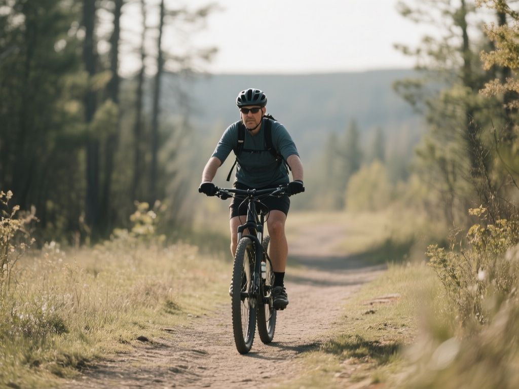
Most people hear “Cuyuna” and think of the Cuyuna Lakes State Trail — a smooth, rail-trail conversion perfect for cruisers and families. That’s not the focus here. The real draw for any hardcore off-road rider is the Cuyuna Country State Recreation Area’s singletrack system, a web of hand-cut and machine-built trails carved into the old iron-mining pits. This isn’t a groomed path. It’s a raw, technical playground that punishes hesitation and rewards those who read the terrain ahead.
The geology alone sets this place apart. The soil here is rich in iron ore, which means the dirt has a reddish tint and packs hard when dry, but turns into a slick, clay-like paste after even a light rain. When you’re braking into a corner and the surface changes from packed gravel to loose ore dust without warning, you feel every ounce of bike control you’ve built over the years. That unpredictability is exactly why riders keep coming back.
Understanding the Cuyuna Trail System Layout
The Cuyuna trail system is divided into several distinct loops, each with its own character. The main hubs are the Portside Trailhead and the Yawkey Trailhead. From there, you can access the following major routes:
- Manganika Trail: A 6.5-mile loop with moderate elevation changes and a few technical rock gardens. Good warm-up, but don’t let the mileage fool you — the climbs are punchy.
- Pitt Trail: 4.2 miles of flowing singletrack with banked turns. Fast and fun, but the loose gravel on the exit of corners can catch you out.
- Overlook Loop: A 3-mile spur that climbs to a viewpoint over the mine pit lakes. Steep, loose, and absolutely worth the effort for the view.
Total mileage for the full system is around 25 miles, but with the technical difficulty, a full lap of every trail can take a full day. Plan for 4 to 6 hours of moving time, depending on conditions and how many stops are made to scout a line.
Surface Variability and Tire Choice
The biggest mistake riders make on the Cuyuna trail is running tires that are too hard or too narrow. The iron-ore gravel is sharp and can slice sidewalls on a lightweight XC tire. A 2.4-inch front tire with a soft compound and a 2.3-inch rear with a reinforced casing is a good setup. That gives enough grip on the loose climbs and enough puncture protection on the rocky descents. If you’re on a hardtail, drop your tire pressure to around 22 psi front and 24 psi rear to let the rubber conform to the rocks.
Navigation and Route Planning for Remote Sections
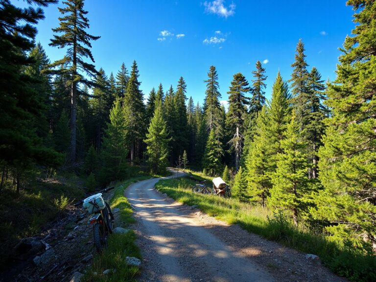
Cell coverage is spotty at best once you drop into the mine pits. On the Rogers Mine Trail, phones often show no signal for extended periods. That’s why it is advisable to carry a paper map from the recreation area office and a GPS device with downloaded tracks. If you’re new to the area, starting with the Manganika Loop helps to get a feel for the soil and trail markings before venturing into the more remote sections.
Trail markings are blue diamonds on trees and posts, but some sections have faded or been knocked down by fallen branches. Pay attention to the turns — it’s easy to miss a junction and end up on a game trail that dead-ends in a thicket. Pushing a bike through waist-high brush in August heat is no fun.
For a deeper dive into reading trail markers and staying oriented in unfamiliar terrain, check out The Complete Guide to Reading a Hiking Trail Map. The principles apply just as much to singletrack as they do to footpaths.
Seasonal Conditions and Best Riding Windows
The Cuyuna trail system is typically open from April through October, but the window for prime conditions is narrow. Spring (April to mid-May) is wet. The iron-ore soil holds moisture, and riding when it’s too soft leaves deep ruts that take months to repair. The recreation area posts daily trail conditions on their website, and they will close trails after heavy rain. Respect those closures — trail crews are volunteers, and fixing a rutted-out section is back-breaking work.
Late May through June offers the best combination of dry dirt and moderate temperatures. Expect daytime highs around 70°F to 80°F. By July and August, the heat and humidity can be brutal, with temperatures pushing 90°F and deer flies swarming in the shaded sections. Early morning or late afternoon rides during summer are recommended, and carrying at least 2 liters of water for a half-day ride is essential. There are no water fountains on the trails.
Fall (September to October) features temperatures in the 50s and 60s, flies disappear, and the dirt gets a perfect tackiness after the first few frosts. But the days are shorter, so plan your start time carefully to avoid being caught out after dark.
Gear and Preparation for a Full Day on the Cuyuna Trail
This isn’t a place where you can rely on a multitool and a prayer. The remote sections are truly remote, and a mechanical failure miles from the trailhead can turn into a long hike out. Essential gear to carry on every Cuyuna ride includes:
- Two spare tubes (29-inch, with the correct valve length for your rims).
- Tire levers and a mini pump (CO2 cartridges are fine; a pump offers more reliability).
- Chain breaker and quick links (the rocky terrain can snap a chain).
- First-aid kit with blister care and a tourniquet (for the remote sections, it’s smart to have trauma supplies).
- Paper map and compass (GPS is backup, not primary).
- Extra food and water (a sandwich, two energy bars, and electrolyte tablets).
If you’re in the market for reliable trail shoes that can handle the rocky terrain and hike-a-bike sections, our Best Trail Running Shoe Reviews for 2026 has tested options that double well for technical riding approaches.
Technical Skills Required for the Cuyuna Trail
The Cuyuna trail system demands a solid foundation in basic mountain bike skills. You don’t need to be a pro, but you should be comfortable with the following:
Climbing on Loose Surfaces
The climbs here are short but steep, often on loose gravel or exposed bedrock. The key is to stay seated and keep your weight over the rear wheel to maintain traction. Stand up too early, and the rear tire will spin out. Count your pedal strokes on steep sections — 10 to 15 smooth rotations at a steady cadence usually gets you over the top. If you spin out, don’t panic. Just put a foot down, reset, and try again with a lower gear.
Descending on Technical Rock Gardens
The descents on the Rogers Mine and Pitt trails are littered with angular rocks the size of your fist. The worst mistake is grabbing a handful of brake and locking the wheels. Instead, use a light touch on both brakes and let the bike roll over the rocks. Keep your pedals level and your heels dropped to avoid striking a pedal on a rock. If the trail gets too gnarly, don’t be ashamed to walk a section. Experienced riders can take a tumble on a simple-looking rock garden if they get overconfident.
Where to Stay and How to Approach the Ride
Most riders base themselves in the town of Crosby, Minnesota, which is about 5 minutes from the Portside Trailhead. There are a few campgrounds in the area, including Cuyuna Country State Recreation Area’s campground with basic sites and a shower building. If you prefer a roof, the Crosby Inn is a straightforward motel that’s bike-friendly. Camping keeps you close to the trailhead and lets you hit the dirt at first light.
For those combining a Cuyuna trip with other riding, the The Best Appalachian Trail Virginia Shelters of 2026 offers a different kind of adventure if you’re planning a longer road trip eastward. But for pure off-road singletrack, Cuyuna holds its own against any system in the Midwest.
Frequently Asked Questions
What is the difficulty level of the Cuyuna trail system?
Most of the trails are rated intermediate to advanced. The Manganika Loop is a solid blue-square (moderate) route, while the Rogers Mine and Pitt trails include black-diamond sections with steep climbs and rocky descents. Beginners can ride the Manganika Loop but should expect some challenging sections. At least a season of off-road riding experience is advisable before tackling the full system.
Are e-bikes allowed on the Cuyuna trail?
Yes, Class 1 e-bikes (pedal-assist, no throttle) are allowed on the singletrack trails within the Cuyuna Country State Recreation Area. Class 2 and Class 3 e-bikes are not permitted on the natural-surface trails. Check the official Minnesota DNR website for the most current regulations, as rules can change seasonally.
What should I do if I encounter a moose or bear on the trail?
Both moose and black bears inhabit the area. If you see a moose, give it at least 100 feet of space — they are unpredictable and can charge. For bears, make noise as you ride (a bear bell or occasional shouting) to avoid surprising them. Carry bear spray on your hip, not in your pack. If a bear approaches, do not run; stand your ground, speak calmly, and back away slowly.
Can I ride the Cuyuna trail system in winter?
The singletrack trails are not groomed or maintained for winter fat biking. However, the Cuyuna Lakes State Trail (the paved rail-trail) is open for fat biking when snow conditions allow. The recreation area does not plow the singletrack, so deep snow makes riding impractical. Check local fat bike groups for unofficial winter riding on the frozen mine pit lakes, but do so at your own risk.