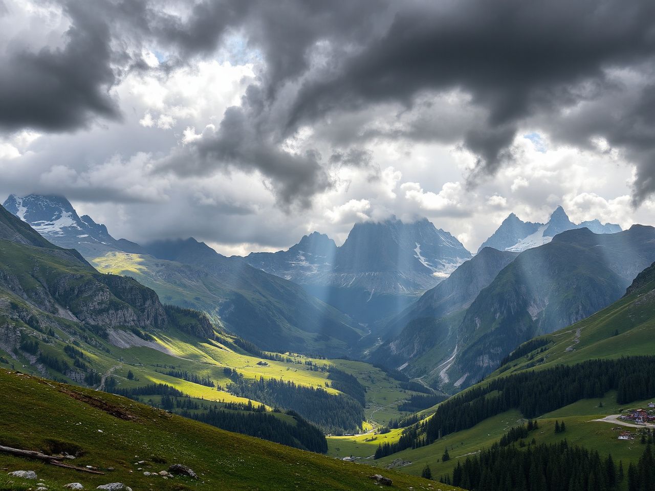
Weather For The Alps: Your Complete 2026 Guide
Contents
What separates a memorable Alpine trip from a dangerous one? The answer is almost always tied to how well you understand the weather. The trips that make the best stories are almost always the ones where something went wrong, which is precisely why preparation earns its place. It doesn’t prevent adventure — it just gives you better options when adventure shows up. When you’re planning any activity in the Alps, knowing the weather for the alps isn’t just about packing the right jacket; it’s about making decisions that keep you safe and the trip enjoyable.
Key Takeaways
- Alpine weather changes fast — expect a 10°C temperature swing and sudden storms within hours, especially above 2,000 meters.
- Valley forecasts don’t apply to passes — mountain-specific forecasts from services like MeteoSwiss or the European Avalanche Warning Service are essential.
- Summer thunderstorms peak between 2 PM and 5 PM — plan high-altitude activities for early morning to avoid lightning risk.
- Winter conditions vary dramatically by altitude and aspect — south-facing slopes can be 10–15°C warmer than north-facing ones at the same elevation.
Understanding Alpine Weather Patterns
The Alps create their own weather. Mountain ranges force moist air upward, where it cools and condenses into clouds and precipitation. This orographic effect means the northern slopes (Switzerland, Austria) get more rain than the southern ones (Italy, France). A system that dumps snow on Chamonix might leave Zermatt clear and sunny.
Seasonal Breakdown
Winter (December–March): Snow line sits around 1,000–1,500 meters. Temperatures at resort level (1,200–1,800m) range from -5°C to 5°C. Above 3,000m, expect -15°C to -25°C with wind chill. Inversions are common — valleys can be colder than mid-slopes.
Spring (April–May): Unpredictable. Snow still possible above 1,500m, but valley temperatures hit 10–15°C. The freeze-thaw cycle creates icy morning trails and afternoon slush. Avalanche risk remains high through May on steep slopes.
Summer (June–August): Warmest months — valley temps reach 25–30°C, but drop 6.5°C for every 1,000m gained. Thunderstorms develop almost daily above 2,000m. The most reliable window for clear weather is early morning, before 11 AM.
Autumn (September–October): Stable weather patterns return in September. Temperatures cool to 10–20°C in valleys. First significant snowfalls typically arrive in late October above 2,500m. This is prime time for riding and hiking, provided you watch for early winter storms.
Microclimates and Local Variations
Two valleys 10 kilometers apart can have completely different conditions. The Föhn wind — a warm, dry wind descending from the mountains — can raise temperatures by 10–15°C in hours. In the northern Alps, the Föhn signals approaching rain. In the southern Alps, it brings clear skies.
Aspect and Elevation
North-facing slopes hold snow longer into summer. They stay cooler and wetter. South-facing slopes get intense sun — snow melts fast, trails dry quicker, but afternoon heat can be brutal. East/west aspects offer moderate conditions, with mornings cooler on east faces and afternoons warmer on west faces.
At 2,000 meters, the air holds 30% less oxygen than at sea level. Combine that with cold temperatures and wind, and hypothermia risk increases faster than most people expect. A 15°C day in the valley can be a 5°C day with 40 km/h wind at 3,000m — that’s a wind chill factor near freezing.
Risk Assessment for Specific Activities
How you interpret weather for the alps depends entirely on what you’re doing. A hiker and a motorcycle rider face different risks from the same conditions.
Hiking and Trekking
Summer: Start before 7 AM to avoid afternoon thunderstorms. Carry a waterproof layer even on clear mornings. Lightning risk is real above treeline — if you hear thunder, get below the nearest ridge or into a dense stand of trees. Avoid exposed summits and ridges between 2 PM and 5 PM.
Winter: Avalanche danger rises with fresh snow and wind. Check the avalanche bulletin daily. A slope steeper than 30 degrees is enough to slide. Carry a transceiver, probe, and shovel — and know how to use them.
Motorcycle and Off-Road Riding
Summer: The same thunderstorm risk applies, but now you’re on asphalt or dirt. Wet roads on mountain passes are treacherous — braking distances triple. Gravel roads turn into slick mud when wet. Riders are at risk of going down on a wet hairpin because they hit the brakes on a painted line. Plan your route to avoid high passes after 2 PM.
Spring and Autumn: The freeze-thaw cycle means icy patches on shaded corners, even when the main road looks dry. Black ice forms on bridges and under tree cover. If you’re riding a pass in April, assume every shaded turn could be ice until proven otherwise. A good set of extreme cold weather boots will keep your feet functional if you have to stop and wait out a storm.
Climbing and Mountaineering
Weather windows for high-altitude routes are narrow. A 48-hour window of stable weather is the minimum for most multi-pitch climbs. Watch for the Föhn wind — it can turn a stable forecast into a whiteout in an hour. Above 4,000m, the jet stream can bring 100 km/h winds even on clear days.
Practical Weather Planning Tools
You need more than a smartphone app. Here are the tools I use:
- MeteoSwiss App — The most reliable forecasts for the Swiss Alps. Includes mountain-specific forecasts down to 1 km resolution.
- European Avalanche Warning Service (EAWS) — Provides a standardized 5-level danger scale for all Alpine countries. Updated daily by local forecasters.
- Windy.com — Good for visualizing wind patterns and precipitation at different altitudes. Use the ECMWF model for the Alps.
- Local webcams — Check real-time conditions on passes and peaks before heading out. Most resorts have live feeds.
Always cross-reference at least two sources. If one forecast says clear and another says storms, assume the storm will hit.
Frequently Asked Questions
What is the best time of year for weather for the alps?
For stable, dry conditions, September is the best month. Summer (July–August) has the warmest temperatures but frequent afternoon thunderstorms. For winter sports, February and March offer the most reliable snow and daylight. May and October are transitional — expect mixed conditions and fewer crowds.
How much colder is it at 3,000 meters than in the valley?
Roughly 19°C colder, following the standard lapse rate of 6.5°C per 1,000 meters. But wind chill can make it feel 10–15°C colder. A 15°C valley day becomes -4°C at 3,000m with a 30 km/h wind. Always pack for conditions 20°C colder than the valley forecast.
Can I rely on a 7-day forecast for the Alps?
No. Beyond 3 days, mountain forecasts have limited accuracy. The Alps are too complex for long-range prediction. Plan your itinerary around a 3-day weather window, and be ready to change plans if the forecast shifts. Reliable forecasts are available 48–72 hours out.
What should I do if I get caught in an afternoon thunderstorm?
Get off exposed ridges and peaks immediately. Avoid lone trees, water, and metal objects. Crouch low with feet together, minimizing contact with the ground. If you’re riding, pull over away from high points and wait 30 minutes after the last thunder. Do not resume until the storm has passed.
How do I check avalanche risk before a winter trip?
Use the European Avalanche Warning Service (EAWS) website or app. It provides a 5-level danger scale (1–5) for each region. Also check local reports from mountain guides. The danger is highest after fresh snow (more than 30 cm) and strong wind. Avoid slopes over 30 degrees when danger level is 3 or higher.