Back of the Dragon: A Practical Look at Its Meaning
Contents
Does a road deserve its reputation just because its name promises curves? The key is understanding that the Back of the Dragon’s branded identity is separate from what it’s actually like to ride a public mountain highway. You should judge it by sightlines, pavement, traffic, weather, and escape options, not just its reputation for curves. Good planning considers the ride as part of a trip through Southwest Virginia, including fuel, lodging, navigation, road notices, and how you’ll get back.
The Back of the Dragon runs along part of SR 16 between Marion and Tazewell. If you’re planning a complete trip on this road, treat the route, motorcycle, weather window, and the way home as one connected plan.
Key Takeaways
- The route covers 32 miles (51 km) between Hungry Mother State Park north of Marion and Tazewell.
- Riding pace should follow sight distance, pavement, traffic, weather, and warning signs rather than the road’s reputation.
- Fuel, food, lodging, mobile coverage, road notices, and motorcycle transport need planning before departure.
What the Back of the Dragon Route Actually Is
Start, finish, and mountain setting
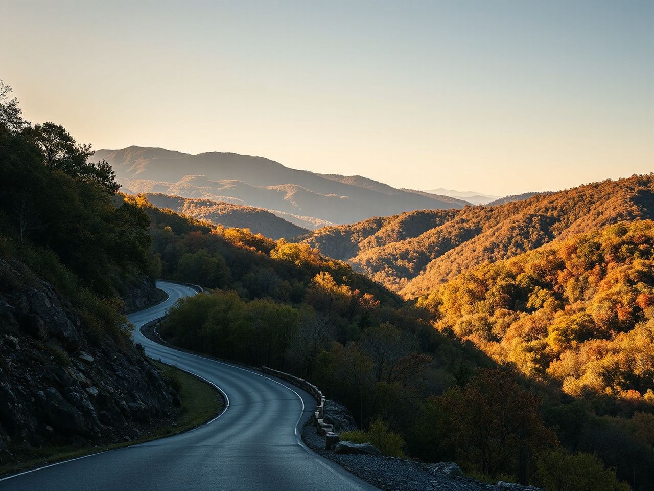
The route starts at Hungry Mother State Park, north of Marion, and ends in the Town of Tazewell. It covers 32 miles (51 km) between those points and passes through Clinch Mountain, Brushy Mountain, and Big Walker Mountain.
The route runs between Marion in Smyth County and Tazewell in Tazewell County. That matters because a rider plans a mountain crossing, not a closed course. The road stays part of the public transport network, with local traffic, opposing vehicles, changing surfaces, and few chances to change plans once the ride starts.
The Back of the Dragon is a public mountain highway connecting Marion and Tazewell. Route planning needs to consider both regular road traffic and recreational riders. That fact should influence every decision about pace, stopping, and passing.
Why the turn count should not control your plan
Descriptions of the route often focus on its large number of bends. The count is debated, with estimates ranging from 260 to 438 turns. That disagreement is less important than what the rider can see before each corner.
Some bends tighten, some open up, and some hide what’s coming next. Elevation changes can alter your view into a turn, and leaves, rain, fog, wildlife, road work, and debris can change the road surface. If you treat the turn count as a challenge, you might enter a corner with less margin than the road actually offers.
A sensible approach is to use the warning signs and sight distance to set your pace. The standard speed limit is 55 miles per hour (89 km/h), but many curves have warning signs for 15 miles per hour (24 km/h). These figures aren’t guarantees that either speed is safe at every moment; conditions will determine if you need to go slower.
How it differs from the Tail of the Dragon
The Back of the Dragon and the Tail of the Dragon are separate riding destinations. Their names invite comparison, but the useful comparison is based on road character, location, traffic, and trip logistics rather than on branding.
- Location: The Back of the Dragon connects Hungry Mother State Park near Marion with Tazewell in Southwest Virginia.
- Road character: The route combines repeated bends with elevation changes, blind corners, variable pavement, and ordinary public-road conditions.
- Traffic: Riders must account for opposing traffic, larger vehicles, local drivers, and groups traveling at different speeds.
- Logistics: A Back of the Dragon plan fits into Tazewell and Marion travel planning, while a Tail of the Dragon trip involves a different regional approach and return route.
The Tail of the Dragon name should not be used as a substitute for checking the actual location, access route, current road notices, and stopping plan for the Virginia ride.
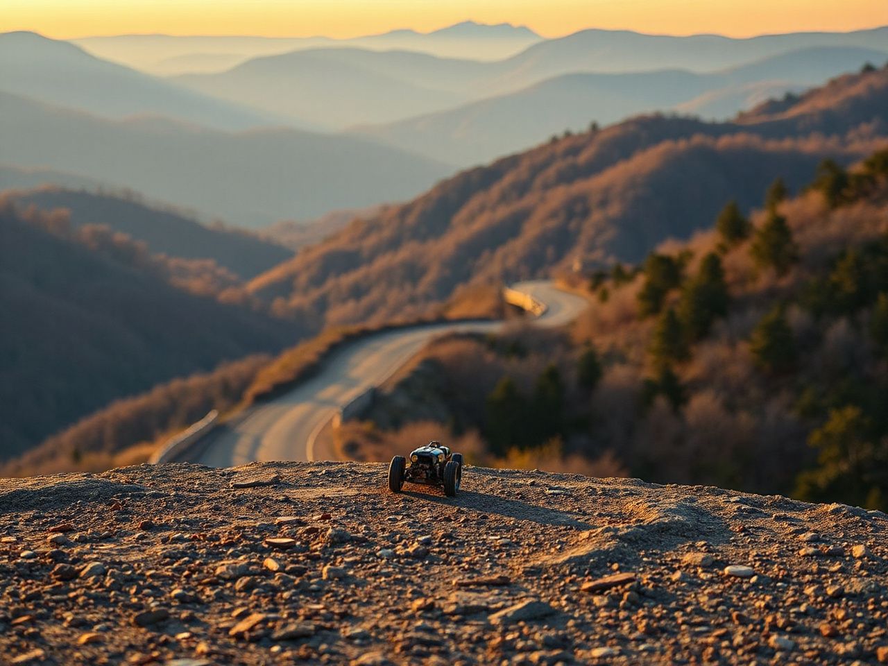
Beginner Planning: Build the Ride Around Conditions
Step 1: Choose a suitable motorcycle and pace
A motorcycle does not need to be treated as a competition machine for this road. The more important questions are whether the rider can control the motorcycle at a pace below the posted limit, hold a stable line through a blind corner, brake without panic, and leave room for an unexpected vehicle or surface change.
A motorcycle suitable for the route is one the rider can manage confidently through repeated curves and elevation changes. Familiar controls, predictable braking, sound tires, working lights, and a riding position that does not cause early fatigue matter more than a machine’s image.
Newer riders should regard the route as a demanding public-road exercise rather than a place to learn cornering from scratch. A rider who is still struggling with smooth braking, corner entry, clutch control, or looking through a bend should choose a less demanding road first.
Riding ability is best judged by control and reserve, not by how quickly another motorcyclist completes the route. A rider should be able to slow down before a blind corner without crossing the center line or relying on a following group to create pressure.
Step 2: Inspect the motorcycle before departure
Use a simple walk-around before leaving the Marion area. Look at the condition of the tires, confirm that the controls move normally, check the lights, and inspect for loose luggage or fluid leakage. The purpose is not to perform a workshop rebuild beside the road; it is to catch an obvious issue before the mountain section begins.
- Check that luggage is closed, restrained, and clear of controls.
- Confirm that mirrors provide a usable rear view.
- Look for visible tire damage or an unusual change in condition.
- Test the horn and lights before entering the route.
- Make sure the motorcycle has enough fuel for the planned section and any detour.
- Carry a communication backup and a written or offline route reference.
A motorcycle inspection before a mountain ride reduces the chance that a minor issue becomes a difficult roadside problem. The check also gives the rider a calm starting point before traffic and curves increase the workload.
Step 3: Plan fuel, food, lodging, and daylight
Fuel, food, lodging, and mobile coverage aren’t always available along a mountain route. It’s best to plan the stopping points before departure instead of relying on a phone to find the next service when needed.
Decide where fuel will be obtained before entering the route and where the motorcycle will be refueled afterward. Prepare a food plan that doesn’t depend on finding an open business exactly when needed. Lodging should be chosen with the finish in mind, because a tiring final ride after many curves can reduce safety margins.
Daylight should be part of the plan even when the route looks short on a map. Riding a mountain road in rain, fog, darkness, or falling leaves demands more attention than a simple distance estimate. When the day is running late, stopping in a suitable town is often smarter than pushing on to keep the original schedule.
For a longer motorcycle trip, a compact backpacking checklist adapted for motorcycle travel can help distinguish essential navigation, communication, first-aid, clothing, and overnight items from unnecessary luggage.
Step 4: Use navigation as a backup, not as the only plan
Phone navigation can fail when the signal drops, the device overheats, the route recalculates, or the rider can’t safely look at the screen. A map app might also guide a rider onto a small road, a closed section, or a turn that makes sense to the software but not to a motorcycle traveling through mountain traffic.
Set the route before riding, download the needed map area, and avoid changing the route while moving. If the phone loses service, stop in a safe place before checking the screen. A paper map, saved route, written directions, and a charged backup communication device offer alternatives if the primary navigation becomes unreliable.
Mobile coverage shouldn’t be considered guaranteed along a mountain route. If a rider can’t explain their intended direction without the phone, the trip isn’t fully prepared.
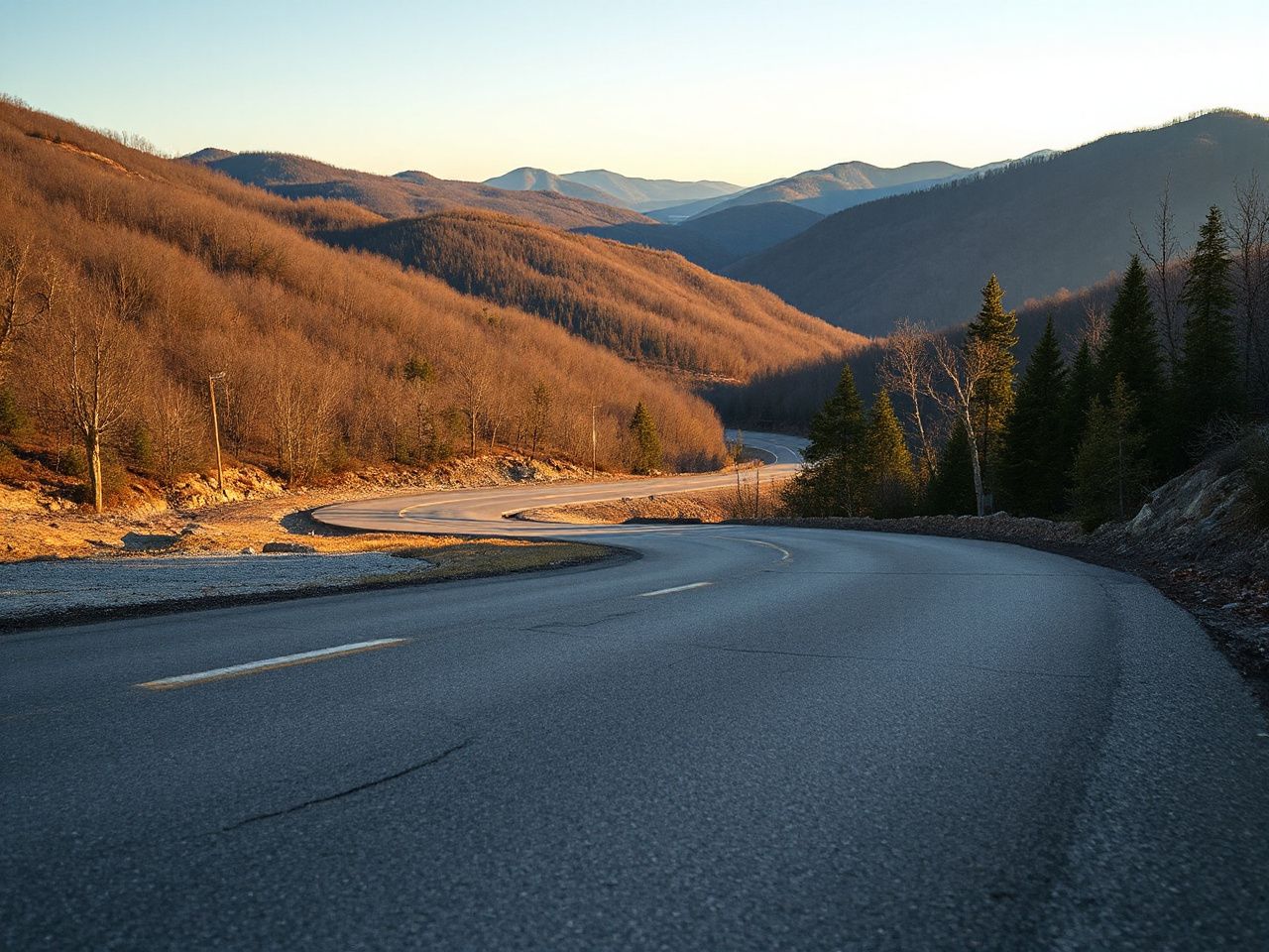
Intermediate Riding: Read the Road Before the Corner
Manage curves, sightlines, and elevation
The route’s curves are just part of the workload. Climbs and descents change braking needs, and a crest can hide the road’s next turn or an approaching vehicle. Blind corners call for a speed that leaves enough time to respond to what’s not yet visible.
Look through the bend while keeping the motorcycle within the rider’s lane. Entering too quickly creates several problems at once: braking becomes more urgent, the available line narrows, and a rider may feel pressure to move toward the center line or outside edge. Measure the opening first and then decide.
Use the posted warning signs as information about the corner rather than as a target speed. The 15 miles per hour (24 km/h) curve warnings show that some bends call for a much lower pace than the route’s 55 miles per hour (89 km/h) standard limit. These signs are guides, not strict rules.
Elevation changes can make the road appear open and then conceal the next hazard. Clinch Mountain, Brushy Mountain, and Big Walker Mountain are part of the route’s setting. The ride should be treated as a mountain crossing with changing views and road conditions.
Handle traffic, groups, and limited passing
Faster riders may approach from behind, while larger groups may occupy more visual space and make the road feel busier than expected. Keep a controlled line, avoid racing an unfamiliar rider, and allow a safe opportunity for the faster traffic to proceed.
Opposing traffic deserves the same margin as a following motorcycle. Large vehicles can obscure the road beyond them, occupy more lane space, and create a visual distraction at the exact moment a rider needs to read the next curve. Limited passing opportunities mean a rider should not build the trip around overtaking.
- Do not cross the center line to improve a view into a bend.
- Do not follow a faster motorcycle more closely than the road permits.
- Leave extra room when an oncoming vehicle blocks the view beyond it.
- Pull over only where the location is safe and does not create a new hazard.
- Keep a group small enough that every rider can make decisions without pressure.
Passing is a road decision, not a measure of skill. Limited visibility and opposing traffic can remove the margin needed for a safe pass even when a rider feels impatient. Patience is key.
Adjust for rain, fog, leaves, wildlife, and road work
Rain can reduce visibility and make pavement feel different under the tires. Fog shortens the usable sight distance. Fallen leaves can hide surface changes or reduce the rider’s confidence about available grip, while wildlife may appear with little warning. Road work can introduce equipment, debris, altered lanes, or a temporary closure.
These conditions do not require a dramatic riding technique. They require a lower pace, more following distance, smoother controls, and a willingness to stop or turn around if the route no longer offers a reasonable margin.
Current road work, debris, weather impacts, and temporary closures can change the ride after a route has been planned. The Virginia Department of Transportation provides current transportation information that should be checked before departure.
A weather forecast is only one part of the decision. Look at the road signs, the visible surface, and the cloud and fog conditions at elevation. Also, consider the time remaining in the day before committing to the next section.
Inspect the motorcycle after the route
The post-ride inspection should happen before the motorcycle is loaded for transport or sent onward to another destination. Check for new tire damage, loose luggage hardware, fluid leakage, damaged lights, and anything that changed during the ride.
Pay attention to the rider’s report as well. A new vibration, unusual brake feel, or change in steering deserves investigation before the next leg. If the motorcycle will be crated or placed on a truck, the transport company needs accurate information about its condition and any accessories that must be removed or secured.
A motorcycle inspection after the Back of the Dragon ride can reveal a problem before the machine enters a longer highway journey. That timing matters because a transport handoff is easier when the motorcycle’s condition is already documented.
Advanced Trip Logistics: Return Routes, Shipping, and Cost Planning
Choose the return method before riding north or south
A one-way ride needs a return plan that is as specific as the outbound route. Some riders will return by motorcycle, some will continue a larger Virginia motorcycle touring loop, and others will arrange motorcycle transport from the Marion or Tazewell side.
Do not wait until arrival to discover that the preferred return method needs advance coordination. A transport plan may involve a pickup window, a location accessible to a truck, contact details, vehicle condition records, and a decision about personal luggage.
A motorcycle should not be treated like ordinary parcel freight. A crate shipment requires a suitable crate, attachment points selected for the motorcycle, removal or protection of vulnerable accessories, and clear instructions about keys and documents. A truck transport arrangement requires confirmation of the pickup and delivery locations, loading access, insurance terms, and what condition will be recorded at handoff.
Customs paperwork matters if the motorcycle crosses an international border after the Virginia ride. The owner should have ownership documents, ID, transport instructions, and any import or export records ready before the motorcycle reaches the shipping point. Customs requirements depend on the countries and route, so the customs authorities and carrier must confirm the current paperwork rather than rely on a general checklist.
Ferry bookings only matter when the trip includes a water crossing. A ferry reservation may need the motorcycle’s dimensions, the rider’s travel details, vehicle documents, and a check-in plan. Confirm the carrier’s rules directly because a ferry booking and a truck shipment solve different parts of a long-distance trip.
For a rider carrying compact emergency supplies, a guide to planning a backcountry first-aid kit for travel can help organize the medical and roadside items that should stay accessible rather than buried in a crate.
Build the trip cost without inventing a false total
The total cost of a Back of the Dragon trip depends on where the rider starts, the motorcycle, nights spent, food choices, fuel use, return method, and how much wear the journey causes. No single route price can cover every trip.
Use separate budget lines for:
- Fuel for the approach, the mountain route, and the return journey.
- Food and drinks during the riding day.
- Lodging in or near Marion, Tazewell, or another planned stop.
- Motorcycle wear and any inspection or service needed before the next leg.
- Roadside assistance or emergency transport if the trip plan includes that protection.
- Crate materials, carrier charges, ferry reservations, or truck transport when the motorcycle will not be ridden home.
- Possible customs handling or documentation costs for an international shipment.
Motorcycle wear should be part of the budget even when no repairs are expected. Repeated braking, cornering, and mountain elevation changes make checking the condition after the route a responsible part of cost planning, not an optional extra.
A good budget includes a transport line and a contingency line without pretending to know prices that haven’t been quoted. Get written estimates from the relevant carrier, ferry operator, or customs broker before committing to a longer trip.
Check official road information before departure
Road notices can change the route after lodging and navigation plans are set. Check the Virginia Department of Transportation road information before leaving and again if weather, construction, or incidents affect the area.
Local info from the Town of Tazewell, the City of Marion, Tazewell County, and Smyth County can help with destination planning. Verify opening hours, road access, and lodging directly because a general map listing might not reflect temporary changes.
Check road information right before departure because construction, debris, weather, traffic, and closures can change a mountain ride. A printed or saved alternative route helps the rider decide before hitting a blocked section.
First-Time Errors to Prevent
Riding for the reputation
The biggest mistake is treating the name as a challenge to complete at a certain pace. A road’s reputation can’t reveal a wet patch beyond a blind corner, a stopped vehicle, a fallen branch, or wildlife nearby.
Set a pace that lets the motorcycle stop within the visible road and stay in its lane. If another rider wants to go faster, that choice doesn’t change the sight distance ahead of you.
Assuming the phone solves every logistics problem
A phone might show a route but fail to reveal practical details: a safe stopping place, current closure, weak coverage, or a road not suitable for the motorcycle. Save route info beforehand and carry a second way to find the direction and destination.
Leaving the return trip undefined
Riders planning only the outbound crossing may end up tired, low on fuel, or unsure about lodging and transport. Decide in advance if the motorcycle will return under its own power, move by truck, go in a crate, or be part of a longer route through Southwest Virginia.
Following a group without understanding the plan
Group riding only works if each rider knows the route, regrouping method, fuel plan, and how to handle separation. Never follow another motorcycle into a corner at a speed that exceeds your control or sight distance.
The safest group plan lets a rider decide independently if traffic, weather, or fatigue change conditions. You don’t need a shared destination to agree on every cornering speed.
Frequently Asked Questions
Where does the Back of the Dragon start and end?
The route begins at Hungry Mother State Park, north of Marion, and ends in Tazewell. The section of SR 16 between Marion and Tazewell is about 32 miles (51 km) and crosses Clinch, Brushy, and Big Walker Mountains. Plan the approach, fuel, food, lodging, and return route separately from the mountain section so a short distance doesn’t hide a longer travel day.
What kind of motorcycle and riding ability suit the route?
A suitable motorcycle is one the rider can control smoothly through repeated curves, elevation changes, and blind corners. The rider should be comfortable slowing before a bend, holding a lane, responding to opposing traffic, and riding below the posted limit when conditions require it. Riders still learning basic cornering and braking should gain that control on an easier road before attempting this mountain route.
How should a rider handle phone navigation problems?
Save the route before departure, download the needed map area, and carry written or offline directions. Do not change the route while moving, and stop in a safe location before using the phone. Mobile coverage isn’t uniform along a mountain road, so a backup communication method and a known fuel or lodging plan are more dependable than live navigation alone.
What does a Back of the Dragon trip cost?
No single figure covers every trip. Build the budget from fuel, food, lodging, motorcycle wear, roadside assistance, and the chosen return method. Add carrier charges if the motorcycle will travel by truck or crate, plus ferry or customs costs if the wider journey crosses water or an international border. Written quotes are needed before relying on a transport total.
Where can riders find current closures and road notices?
Check the Virginia Department of Transportation before departure for current road information, then verify local details through the relevant Marion, Tazewell, Smyth County, or Tazewell County offices. Weather, road work, debris, and temporary closures can alter the ride after a route has been saved, so review the information again if conditions change.
How should faster riders and larger groups be handled?
Hold a controlled line, avoid following another rider faster than your own sight distance allows, and wait for a safe place before allowing traffic to move past. Opposing vehicles and limited passing opportunities make patience essential. A group should use a clear regrouping plan so riders do not feel pressure to enter a blind corner at an unsuitable speed.