


You want routes that match your riding style, time, and sense of adventure. Plan smart and you will find smoother roads, better views, and stops that matter. A clear plan that uses good tools and simple safety checks cuts stress and makes every mile more enjoyable.
This post shows how to pick roads, use planning apps, and add safety and backup options so you can ride with confidence. It also covers ways to tailor routes for solo or group trips and to save time on planning without missing the fun.
Key Takeaways
- Choose routes that match your pace and interests.
- Use route tools and maps to build and share reliable plans.
- Add basic safety and backup steps before you head out.
Understanding Motorcycle Route Planning
Route planning helps riders pick roads, stops, and timing that match their bike, skill, and weather. Good planning balances safe, fun roads with fuel, rest, and navigation tools.
Key Considerations for Riders
Riders should match route choices to their bike type and skill level. Sportbikes prefer smooth, twisty pavement; ADV bikes handle gravel and dirt. Consider tire type, suspension, and luggage limits when picking surfaces and daily mileage.
Weather and daylight shape each day. Check forecasted temperatures, wind, and rain, and plan alternate routes or rest days. Note sunrise and sunset times to avoid unlit rural roads at night.
Fuel range and services matter on remote stretches. Identify fuel stops, repair shops, and cell coverage gaps. List emergency contacts and carry basic tools, a tire repair kit, and a charged power bank.
Rider endurance affects stop spacing. Plan breaks every 60–90 miles or 1–2 hours for comfort and concentration. Factor in rider pairs or groups; slower riders set the pace, so plan realistic daily distances.
Benefits of Pre-Planning Routes
Pre-planning reduces stress and saves time on the road. Riders avoid dead ends, heavy traffic, and long boring highways by choosing scenic or twisty alternatives ahead of time.
It improves safety by highlighting hazards and services. Riders can spot mountain passes, ferry crossings, and low-clearance bridges, and plan fuel and rest stops. That lowers the risk of running low on fuel or riding tired.
Pre-planning helps manage logistics like lodging and permits. Booking campsites or hotels in advance avoids full bookings in popular areas. It also clarifies border rules, park permits, or restricted roads before arrival.
Pre-planning supports better packing and bike prep. Knowing terrain and temps lets riders pack the right gear, tools, and spare parts. This reduces surprises and keeps focus on riding rather than fixing problems.
Planning Tools Overview
Digital map apps and motorcycle-specific planners each have strengths. General apps show live traffic and satellite views. Motorcycle apps like REVER, Kurviger, and Calimoto offer twisty-road routing, avoid motorways, and export GPX for GPS units.
Use route editors to shape roads and add waypoints. Web planners let riders drag routes, mark POIs (fuel, viewpoints, eateries), and estimate time and distance. Export routes to a phone or dedicated GPS for offline use.
Offline maps and GPS are vital in low-signal areas. Download regional maps and GPX tracks before leaving cell coverage. Carry a physical map as backup for major route choices.
Balance tech with flexibility. Plan primary and alternate routes, then adjust on the fly for road closures, weather, or rider fatigue.
Choosing the Best Motorcycle Routes
Pick roads that match skill level, bike type, and trip goals. Balance scenery, safety, and surface quality to avoid surprises and enjoy the ride.
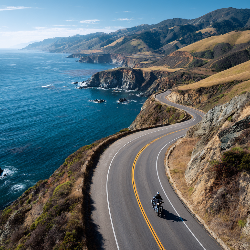
Evaluating Scenic Roads
Riders should check what makes a road scenic: views, landmarks, and variety in turns. Mountain passes, coastal stretches, and riverside roads often rank high, but look for designated viewpoints and short pullouts for photos and rests.
Check elevation change and corner frequency to match rider skill. Tight switchbacks suit experienced riders on light bikes. Long sweepers fit heavier touring bikes. Note towns and fuel stops every 60–120 miles on remote scenic routes.
Use these quick checks:
- Viewpoints per mile: higher means more stops.
- Services: fuel, food, lodging frequency.
- Traffic: highways vs. backroads. A simple table helps compare options.
| Route type | Best for | Drawbacks |
|---|---|---|
| Coastal highway | Tourers, photographers | Wind, salt spray |
| Mountain pass | Sport riders, thrill-seekers | Altitude, tight turns |
| River valley/backroad | Casual rides, camping access | Limited services |
Assessing Road Conditions
Riders should research surface quality and hazards before committing. Look for reports on potholes, gravel, recent repairs, and construction near the planned stretch. Local motorcycle forums and real-time map apps often note problem spots.
Weather affects grip and visibility. Wet or icy surfaces reduce traction; sand and gravel hide lines. Inspect shoulder width, guardrail presence, and escape routes for each segment. Plan alternative detours if a main leg shows poor condition.
Use a short checklist before departure:
- Pavement quality (good/fair/poor)
- Known hazards (debris, animals, construction)
- Emergency access (nearest town, cell service)
Seasonal Route Selection
Season shapes which routes are safe and enjoyable. High mountain passes may close from late fall through spring. Coastal roads stay open but can be foggy and windy in certain months. Choose routes that match seasonal weather patterns.
Match tire type and luggage to season. Cooler months call for warmer layers and heated gear; summer needs hydration plans. Check sun hours for shorter winter days and increased night riding risk. Verify seasonal services like ferry schedules and campground openings.
Season checklist:
- Pass closures and typical open dates
- Average temps and daylight hours
- Availability of fuel and lodging in low-season
Essential Tools for Route Planning
Good route planning needs reliable navigation, clear maps, and software that fits the ride. Riders should pick tools that work offline, show road types, and let them export GPX tracks.
GPS Devices and Smartphone Apps
Dedicated GPS units like Garmin zumo series give rugged hardware, glove-friendly buttons, and mount stability. They handle battery swaps, direct power, and often include motorcycle routing options. Smartphones offer powerful apps such as REVER and Roadtrippers for route building, turn-by-turn, and points of interest. Apps give frequent map updates and social ride sharing, but riders must secure a waterproof mount and a power source for long days.
Offline maps matter when cell coverage drops. Look for apps that support GPX import/export and voice prompts. Prioritize clear night mode, lane guidance, and the ability to avoid highways or unpaved roads when needed.
Paper Maps vs. Digital Maps
Paper maps give a big-picture view and do not fail when electronics do. A regional paper map helps plan alternatives, see town spacing, and note fuel or camping stops at a glance. They are light on detail but reliable.
Digital maps provide zoomable detail, traffic layers, and elevation profiles. GPS apps and dedicated devices let riders measure distances, save waypoints, and reroute around closures. For safety, riders should carry a small paper map as a backup and download offline map tiles or GPX tracks before leaving cell range.
Specialized Motorcycle Planning Software
Motorcycle-focused platforms like MyMotoMaps, MotoPlanner, and ThrottleMap add features for bikers: scenic-route filters, twisty-road ratings, and route-smoothing for enjoyable corners. These tools let users create multi-day itineraries, export GPX for device use, and share rides with club members. Some offer AI suggestions for scenic detours and highlight road surface quality.
Advanced users value exportable GPX/TCX files, route elevation charts, and the ability to batch-edit waypoints. Check for subscription costs and offline capabilities. For trip research, riders can cross-check routes with official state DOT road condition pages and national park alerts (for example, nps.gov) to avoid unexpected closures.
Customizing Your Ride Experience
Riders choose stops, sights, and daily distances that match their pace and interests. They set fuel and food breaks, sightseeing time, and riding hours to make each day doable and fun.
Personalizing Stops and Attractions
Riders should list must-see attractions and practical stops before building a route. Mark fuel stations every 100–150 miles or based on the bike’s range. Add food and rest stops at predictable intervals, such as every 2–3 hours of riding, to avoid fatigue.
Use categories to organize stops: fuel, food, lodging, viewpoints, and maintenance. Prioritize safety-related stops (fuel and service) above optional sights. For scenic detours, note road type and surface—paved twisties, gravel backroads, or short dirt spurs—so the rider can decide based on skill and bike setup.
They can also add timed visits for attractions with limited hours. Save GPS coordinates and contact numbers for lodges or mechanic shops. Exporting stops as GPX files helps load them into most bike navigation units and phone apps.
Calculating Riding Time and Distances
Riders calculate realistic daily distances by combining average speed, planned stops, and road type. Use a conservative average speed: 40–50 mph on twisty or two-lane roads, 55–65 mph on highways. Multiply distance by these speeds to estimate riding time, then add 15–30 minutes per planned stop.
Factor in elevation and traffic: steep mountain roads cut average speed by 10–20%. Urban sections may add stop-and-go time. For multi-day trips, keep daily ride time under 6–8 hours for comfort, or under 5 hours for routes with many technical turns.
Keep an editable route plan. Recalculate ETA after major detours or delays. Export distances and times in a simple table to reference on the road. Example table format:
- Segment: Start → Waypoint
- Distance: miles/km
- Estimated time: hh
- Notes: fuel, road surface, attraction hours
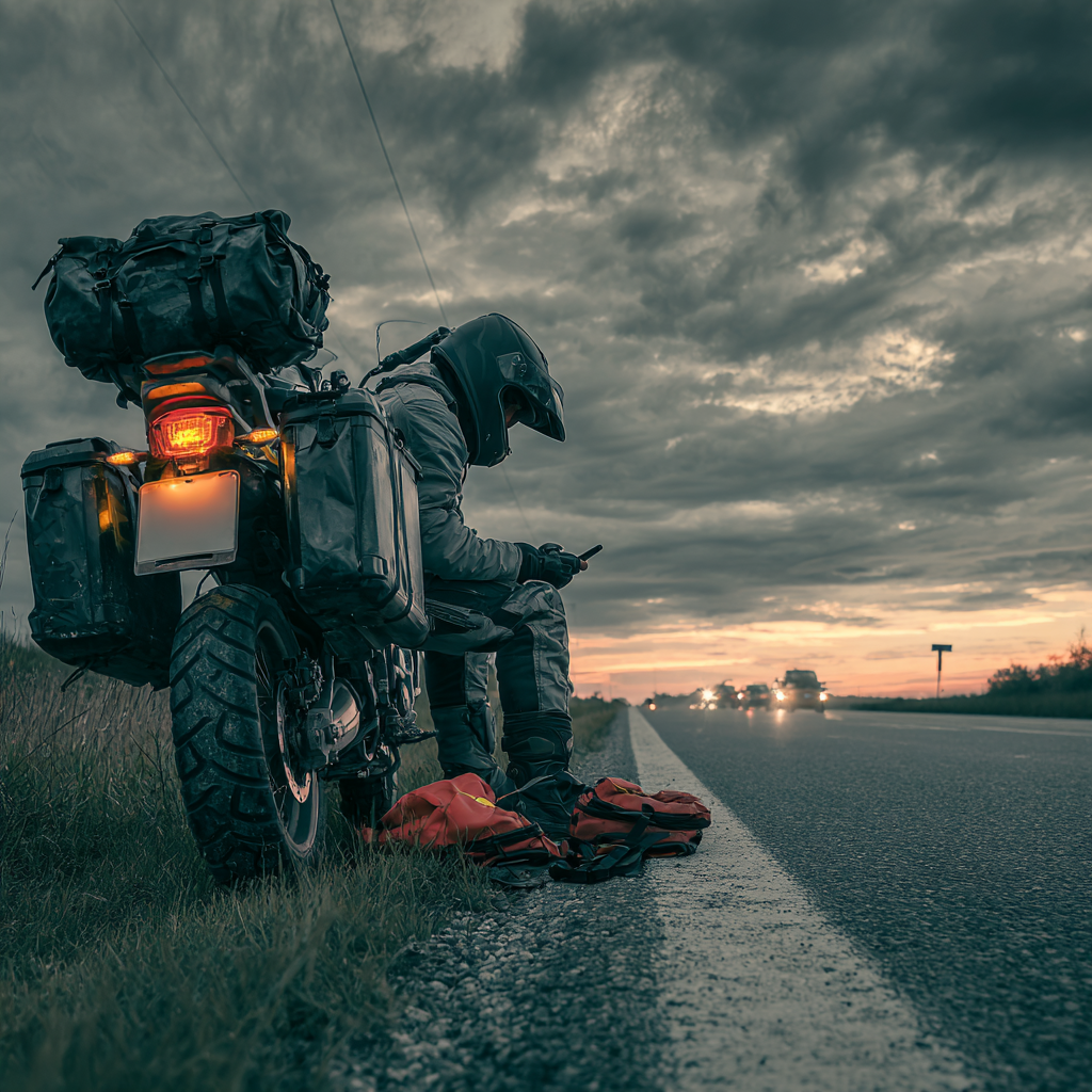
Safety and Emergency Planning
Riders should pick tools and steps that keep them aware of weather and ready for crashes or breakdowns. They must set alerts, share locations, and carry basic emergency gear before leaving.
Weather Forecasting and Alerts
Check detailed forecasts for each riding day and for the exact stretch of road. Use apps that show hourly rain, wind gusts, temperature, and radar; set push alerts for sudden changes. Mountain passes and coastal roads can change weather fast, so monitor conditions the morning of departure and again en route.
Layer clothing based on predicted temperatures and carry waterproof outerwear if rain chance exceeds 20%. Watch wind forecasts—sustained winds over 25 mph or gusts over 35 mph affect bike stability. If lightning or hail is forecast, reschedule or stop early and shelter in a sturdy building, not under trees.
Download offline weather maps or save screenshots for remote areas with no cell signal. Consider apps with location-based alerts that warn when a storm system moves into a planned segment.
Emergency Contacts and Procedures
Program emergency contacts into the phone and any connected crash-detection app. Include two local contacts who can reach the rider quickly and one mechanic or towing service along the route. Store ICE (In Case of Emergency) info on the phone lock screen or in a visible card on the bike.
Carry a compact first-aid kit and know how to stop major bleeding and treat shock. Riders should carry a multi-tool, tire repair kit, and portable pump or CO2 inflator. If solo, share live location with a trusted contact before leaving and update them at key checkpoints.
If a crash occurs, prioritize safety: move to a safe location if possible, call emergency services, and use the crash app to notify contacts. If the rider is injured and cannot call, informed contacts or the app should provide location to responders. Keep copies of insurance and bike documents in a waterproof pouch.
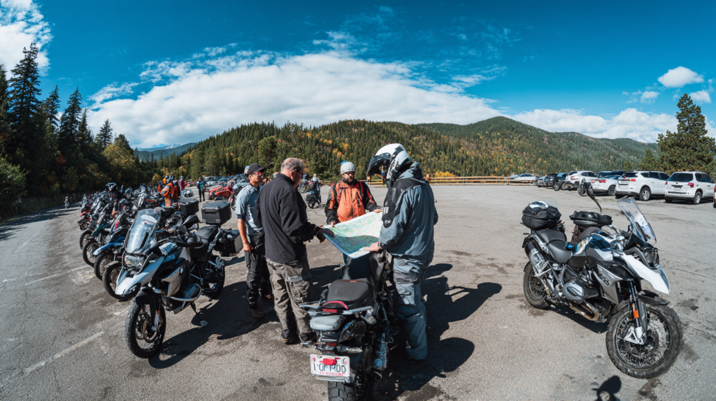
Group Motorcycle Route Planning
Group rides need clear roles, set meeting points, and agreed pace. Riders should pick the route, fuel and rest stops, and assign lead and sweep positions before leaving.
Coordinating with Other Riders
They should assign roles: lead, sweep, and a route navigator. The lead sets speed and line choice. The sweep stays last, checks on everyone, and carries emergency tools. The navigator manages the GPS route file and handles reroutes.
Agree on concrete stops: exact mileage for fuel, specific towns for breaks, and alternate meeting points if someone gets separated. Share GPX or KML files ahead of time so each rider’s device has the same route. Set realistic ride length and terrain limits based on the least-experienced rider.
Confirm bike compatibility. Heavy touring bikes may need different pacing than sport or dual-sport machines. Match fuel ranges and tire types to avoid frequent unscheduled stops.
Communication Strategies
Use simple, agreed signals and a primary voice channel like Bluetooth intercoms. Choose a group channel ID and set volume limits so commands are heard without noise overload. Limit voice calls to safety and direction; handle nonessential chat during stops.
Prepare a written contact list with phone numbers and bike details shared as a PDF or group message. Establish a lost-rider plan: a 10-minute wait at the next major turn, then proceed to the next scheduled stop if no contact is made. Use read-confirm messages for route changes.
Employ map pins and ETA updates through a shared app or messaging thread. This keeps everyone informed about delays, fuel stops, and route changes without needing constant radio chatter.
Advanced Tips for Efficient Motorcycle Trips
Focus on planning around fuel range, rest rhythm, and smart packing to save time and avoid problems. Use concrete data—tank size, mileage, weather—and pack only gear that solves real needs.
Fuel and Rest Stop Optimization
Riders should calculate true range using tank capacity and real-world fuel economy, not just manufacture estimates. For example, a 5‑gallon tank at 45 mpg yields about 225 miles; plan stops every 150–175 miles to keep a safety buffer.
Use a route app or GPX planner to mark stations with diesel or high‑octane if needed. Note station hours in rural areas and add alternates 15–30 miles apart. Factor in terrain: steep grades and wind cut fuel economy by 10–25%.
Schedule rest stops every 90–120 minutes for a 15–30 minute break to reduce fatigue. Match breaks with fuel stops when possible. If riding solo at night, stop more often and choose well‑lit, populated locations. Carry a small fuel bottle only where legal and safe.
Checklist:
- Tank size & avg mpg → planned stop interval
- Primary and backup gas stations on route
- Rest every 90–120 minutes; combine with refuel
- Extra time for climbs, headwinds, and lineups
Packing Recommendations
Pack in layers and prioritize items by frequency of use. Keep daily essentials (water, snacks, rain layer, phone charger, basic tools) in an easily reachable tank or tail bag. Store rarely needed items (camping gear, spare clothes) in hard panniers.
Use a simple packing list:
- Essentials: ID, cash, credit card, insurance
- Safety: first‑aid kit, multi‑tool, tire repair kit, portable pump
- Comfort: thin foam seat pad, earplugs, microfiber towel
- Weather: packable rain suit, thermal layer
Weigh gear and aim for center low weight. Secure soft bags with straps and drybags, and lock hard cases. Test-fit the bike with full load before a long ride and adjust suspension preload if needed.
FAQS
What is the best way to plan a motorcycle route?
They should pick key stops first, then link them with roads that match their riding style. Use a route planner or app to check distance, elevation, and fuel stops.
Which apps work well for motorcycle routing?
Many riders use motorcycle-focused apps that offer GPX export, offline maps, and scenic-route options. Popular choices include tools that let riders create, edit, and navigate custom routes.
How far should a rider plan to go each day?
Riders should plan for shorter daily distances than car trips. Aim for 200–300 miles or less, depending on terrain and fatigue.
How does weather affect route choices?
Weather changes can make some roads unsafe or slow. They should check forecasts, pick safe alternate roads, and avoid high-risk mountain passes in poor conditions.
What gear helps on long routes?
Comfortable clothing, layered weather protection, a small tool kit, and a charged navigation device reduce risk. They should also pack spare gloves and a basic first-aid kit.
How to handle navigation offline?
Export GPX tracks or download offline maps before leaving cell coverage. Many motorcycle apps support offline navigation and turn-by-turn guidance.
How to find scenic detours and points of interest?
Use route planners with points-of-interest features or community-shared routes. Riders can add stops for viewpoints, fuel, or food to break up long segments.
Conclusion
They should choose tools and routes that match their riding style and goals. A mix of planning apps, offline maps, and local knowledge works best for most trips.
Riders must prioritize safety and bike prep. Regular checks, proper gear, and realistic daily distances reduce stress and keep the ride enjoyable.
Flexibility matters as much as planning. Built-in buffers for weather, rests, and detours let riders adapt without losing momentum.
Useful tools include dedicated motorcycle planners, general map apps, and GPX-capable services. Each offers different strengths: scenic routing, turn-by-turn navigation, or trip export for devices.
A simple checklist helps:
- Inspect bike and tires.
- Load maps and backups.
- Plan fuel and rest stops.
- Share route with someone at home.
They will find better rides by combining tech with local tips. That approach leads to safer, more memorable trips and fewer surprises on the road.